Mad River Valley


Ramble Reviews
Average: 4.91 (of 183)

Fantastic
MAD RIVER VALLEY...
Mad River Valley
Choose A Material
Learn MoreChoose A Size
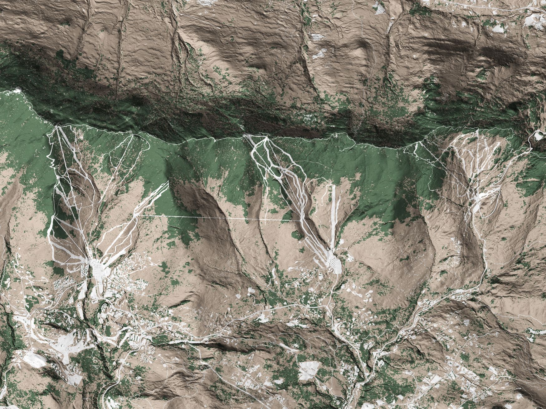
Height x WidthWhen we create a Ramble map, our goal is to show the beauty of the landscape as best we can. We want you to see the hills, valleys, rivers, and transitions between ecosystems. Each map shows something unique. Each area has something surprising, even to those who know it well.
About This Map
This map is a 2-dimensional print that is ready to hang right out of the box on a backing that will float it off the wall, giving it a nice shadow like in our pictures.
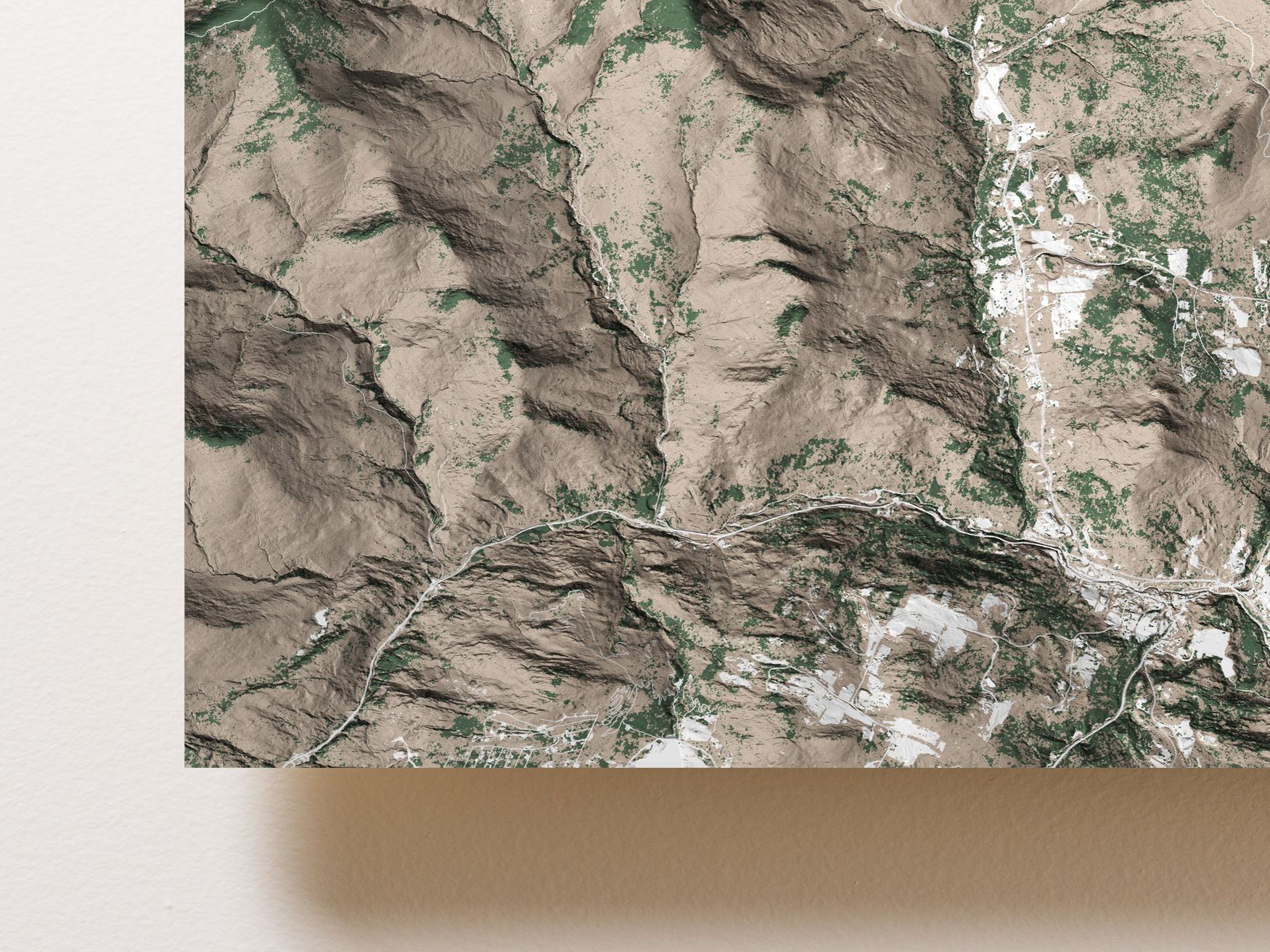
The stretch of mountains from Lincoln Gap to the App Gap are home to two of Vermont's highest peaks, Mt. Abraham and Mt. Ellen, as well as the two resorts of the bucolic Mad River Valley, Sugarbush and Mad River Glen.
Our map starts just south of Lincoln Gap, home to some fine backcountry skiing, and extends past App Gap to the North, with the Long Trail traversing the conifer heavy summits of one of the prime ridges of the Green Mountains.
Estimated Arrival
Each map is made to order in the USA and will arrive in 1 to 3 weeks.
Ramble Reviews
Fantastic
MAD RIVER VALLEY...
Choosing A Material
Face Mounted Acrylic
This option maximizes contrast and detail, resulting in a stunning image that catches the light as you move around it.
The map is printed on metallic photographic paper and then 1/4" of acrylic glass is mounted to the front of it. It is our highest quality option.

Wood Mounted
The wood mounted map has a rustic, understated, and classy feel to it.
This option looks great in the widest range of lighting setups. It feels the most natural and physical of all of the options. The wood mounted map has a matte finish, so it reflects less light than the other options.

Aluminum
The aluminum map looks sleek, smooth, and modern. It has a high-gloss surface, which gives it deep colors, high contrast, and vibrancy. Under good lighting, this map is truly eye-catching.
This option is light weight and has a lower price than acrylic, at a slightly lower resolution.


